Photography 
The Basics of Satellite Imagery: Need to Know More(0)
August 24, 2021
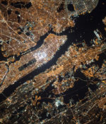
Satellite imagery is visual images of the Earth gathered by orbiting satellites. These images are used by scientists, local authorities, emergency managers, cartographers, environmental organizations, military and civilian organizations for several purposes. GeoEye-1 satellite is the first global map viewer that merges state and national boundaries. Satellite imagery comes in many forms such as… Read More ›


